Missouri Simulator Tour-Marble Hill to Fredericktown

The sixth leg of the Missouri Simulator Tour took me from Marble Hill (0T3) in Bollinger County to Fredericktown (H88), the seat of Madison County. Originally, I had hoped to a two hour long tour of the whole Missouri lead belt, but real life obligations got in the way and I decided that several short hops will have to suffice for the moment. Turbulence and strong winds over the hills made the jaunt from Marble Hill to Fredericktown incredibly bumpy, but otherwise it was a good day for a flight.
Fredericktown is a city of 3,985 people and was founded to take advantage of the lead deposits in the area. One of the earliest settlers was Moses Austin. He eventually ended up in Texas where the capital city is named in his honor.

The area between Marble Hill and Fredericktown is dominated by the Mark Twain National Forest. Unlike the Bootheel where this trip began, farmland is fairly scarce. Planting only occurs in the valleys. Everything else is miles of trees covering some fairly rugged hills. The strong wind coming over the hills made for a very bouncy trip.

Fredericktown is the seat of Madison County. The county was organized in 1819 and was named for President James Madison. It is also home of the steepest and highest terrain in the state. Those hills were clearly visible on the flight and they made a definite difference in the smoothness of the journey. It was also the highest airport landed at so far. While the Booheel airports were all somewhere around 300 feet MSL and Marble Hill was 421, Fredericktown sits at 880 feet above sea level.

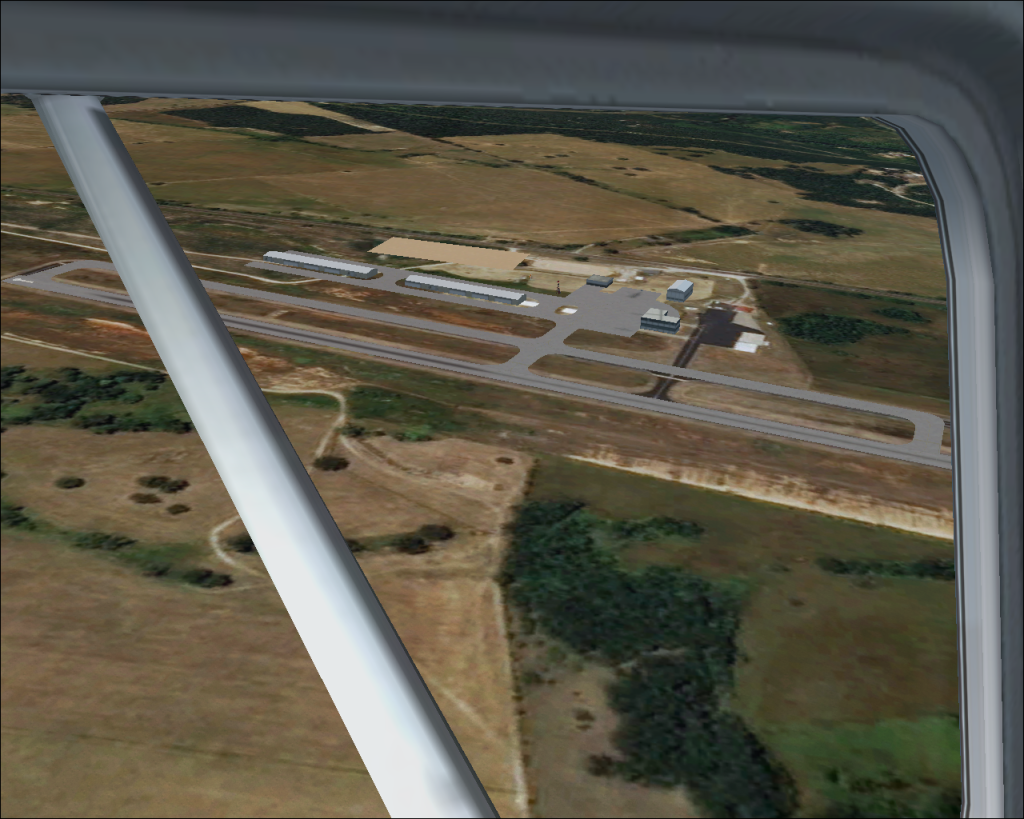
The Missouri Megascenery continued to do a good job of providing photo realistic scenery to fly over. However, the limitations of this kind of scenery were also fairly evident. Note how flat the trees look at 1,000 feet AGL. Also, note the slight difference between where FSX places the taxiway and buildings and where Megascenery places the same items. This difference is also visible in the Marble Hill airport photo at the top of this page.

Another strange scenery issue occurred when approaching the Fredercktown Airport. As I was turning from base to final the hangars alongside the runway began to “blink.” They appeared. Then they disappeared. It happened repeatedly, all the way through my landing procedure.

Even after landing the phenomenon continued. It even occurred while looking at the plane from an external vantage point. In these two pictures the plane is parked. Note the location of the rotating beacon. Nothing has moved. The hangars appear and disappear based purely on where the virtual spectator is standing. Weird. The next flight will be done with default FSX scenery to see if this is a Megascenery issue.
Flight details: 22 NM and .4 hours
Route: 0T3-H88
Next leg: Farmington to St. Louis


